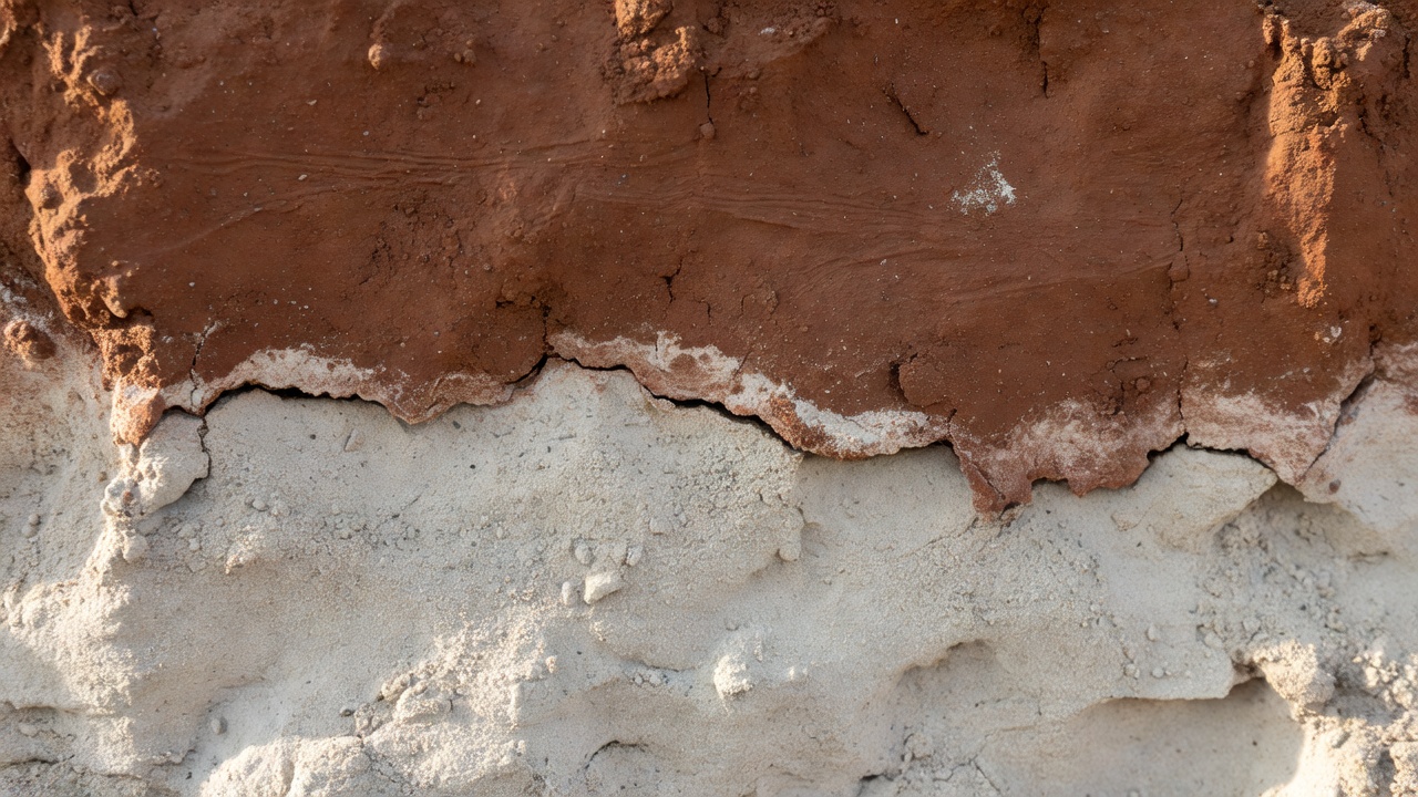
A trace is a relationship
Archaeological traces survive unevenly. A buried ditch may retain moisture differently from surrounding ground, influencing the crop above it. A low bank may become legible only when sunlight falls across it at a shallow angle. Neither observation supplies a date or function. Both describe a relationship between a possible feature and its environment. The first task is to record that relationship without allowing an attractive interpretation to replace it.
Ordinary aerial photography is particularly sensitive to season, vegetation and lighting. An absence of visible cropmarks does not establish an absence of archaeology. Equally, a compelling rectangular mark might follow a recent drainage scheme. When researchers combine several dates of imagery, they can ask whether a signal recurs, disappears with cultivation or follows modern land management. That question is often more useful than whether a single image looks convincing.
What lidar adds—and does not add
Lidar measures distance using laser pulses. In suitable conditions, some returns come from the ground through gaps in vegetation. Processing can then produce a terrain model in which subtle earthworks are easier to inspect. This is not literal sight through solid foliage, and it is not sight through soil. Dense cover, survey design and classification errors can all limit the resulting ground representation.
The work of Damian Evans and colleagues around Angkor showed how airborne laser scanning could reshape understanding of an extensively modified landscape. Later research in the Maya lowlands, including the 2018 study led by Marcello Canuto, documented large networks of structures and infrastructure. Heiko Prümers and colleagues used lidar to investigate Casarabe settlements in the Bolivian Amazon. These studies demonstrate the value of measurement and archaeological interpretation; they should not be retold as examples of an algorithm independently establishing an ancient city.
Even a well-made terrain model can be misleading when displayed carelessly. Hillshade direction may exaggerate one alignment and suppress another. Interpolation can soften edges or introduce artefacts. A careful reader asks to see alternative visualisations, the underlying resolution and any processing notes before treating a shaded form as a physical feature.
Satellite coverage is not close inspection
Satellite collections make repeated landscape observation possible, but coverage and detail are different advantages. The European Space Agency’s Sentinel-2 mission includes bands with different spatial resolutions. The Landsat programme provides a long record useful for examining broader environmental change. Neither should be assumed capable of resolving every small wall, pottery scatter or narrow ditch. If a target is smaller than the meaningful detail in the data, no model can reliably recover information that was never measured.
Multispectral imagery can help identify contrasts in vegetation or soil reflectance. Those contrasts have many possible causes. A model trained on one geology or crop regime may learn local agricultural signatures rather than transferable archaeological characteristics. Recording acquisition dates, cloud contamination and land cover is therefore part of archaeological reasoning, not just technical housekeeping.
Below-ground measurements ask other questions
Magnetometry records variations in a magnetic field; ground-penetrating radar records reflected electromagnetic signals. These instruments do not return a labelled plan of an ancient settlement. Modern services, disturbed soil and natural geology may produce strong responses. Some archaeological features produce weak responses or remain undetectable under particular ground conditions. Instrument choice should follow a research question and a local assessment rather than the appeal of a dramatic display.
A useful comparison keeps observation and inference in separate columns. What was measured? What pattern is present? Which explanations remain plausible? A strong workflow retains these distinctions when data are passed into machine learning. Otherwise, an uncertain interpretation can quietly become an apparently objective training label.
| Input | Useful observation | Important limitation |
|---|---|---|
| Aerial photograph | Surface colour, crop and shadow contrasts | Lighting and season can hide or imitate features |
| Lidar terrain model | Subtle topographic variation | Ground classification and vegetation affect quality |
| Geophysical survey | Contrasts in physical properties | A response does not supply age or function |
Build a record before building a claim
For students, the most useful habit is to write a short observation record before naming a feature. Describe its shape, dimensions at the available scale, relationship to nearby forms and visibility across datasets. Then list alternatives. A circular anomaly might be archaeological, geological, agricultural or a processing effect. Independent sources should narrow those options rather than merely repeat the same image in another colour.
Public datasets can make this work more accessible. The Environment Agency’s English lidar resources, for example, provide opportunities to examine terrain without commissioning a new flight. Access does not remove licensing obligations, and a downloadable surface model does not establish permission to enter land. The next notebook follows what happens when these observations become model inputs—and why a shortlist must preserve their uncertainty.
Continue to model evaluation